Iklan
Hit by Storms and Tides
The Torres Strait separates PNG to the north and Australia to the south, connecting the Coral Sea to the east and the Arafura Sea to the west.
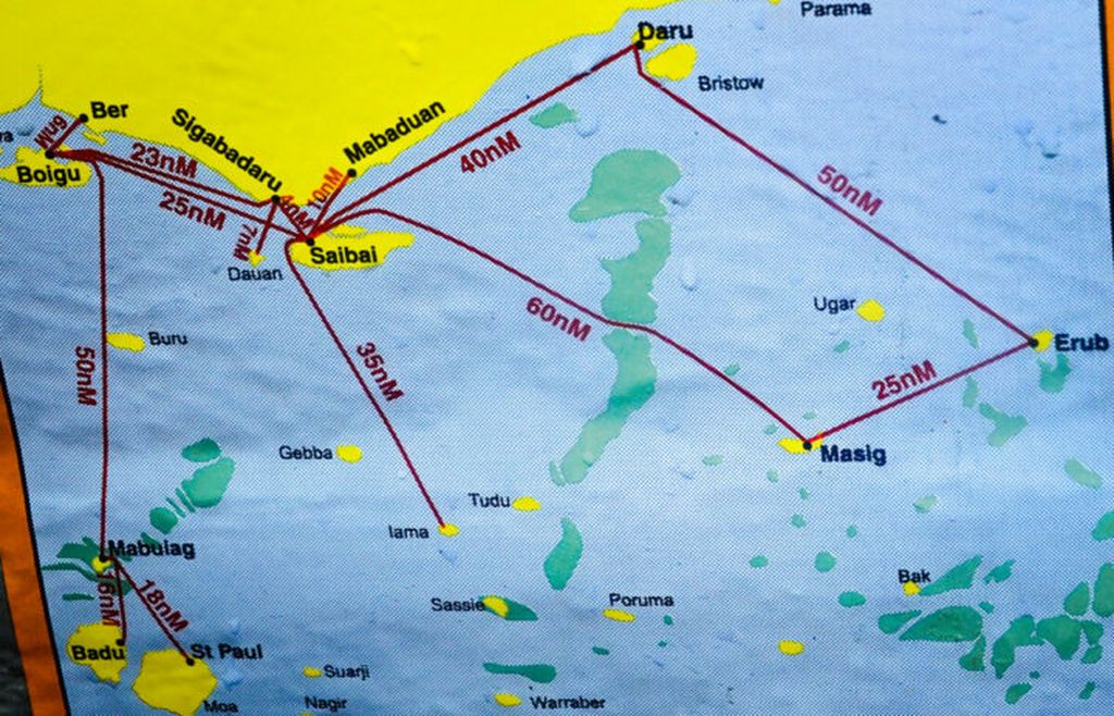
Map of the border region of Papua New Guinea and Australia.
As we were heading to the coastal villages of Papua New Guinea (PNG) near the Indonesian border, the motorboat I was traveling on was battered by waves and stormy weather as it crossed the Torres Strait.
The Torres Strait separates PNG to the north and Australia to the south, connecting the Coral Sea to the east and the Arafura Sea to the west. The sea is relatively shallow, but the waves are high and fierce, especially in the narrow gaps around the villages of Tureture and Olmawata.